From Natural Resource Canada comes another good resource, the Atlas of Canada Learning Resources Web site. Visitors will find a list of curriculum activities that are related to, and in some cases utilize, the interactive Atlas. The modules include, a Curriculum Guide detailing how to link the Atlas with other resources, a geography glossary, a wide array of additional links, and more. The...
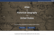
Maps and atlases are items of great interest for many of us at the Scout Report. So when we came across this atlas that not only presented the cartographic history of the United States but also featured the latest interactive technology, we were ecstatic. The website offers many different entry points for visitors to explore the substantial collection of digitized maps, with the time-lapse feature...
For those interested in map information, National Geographic's Map Machine is an effective place to start. Map Machine's Atlas allows users to click on a world map or on continent or country menus to retrieve country maps, with concise information and flags. There are also selected area maps available, created from weather satellite data, as well as political and physical maps and a Macromedia...
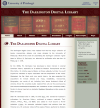
The Darlington Digital Library was created from the first major collection of books, manuscripts, and maps donated to the University of Pittsburgh. The lion's share of the credit for this collection goes to the attorney William M. Darlington, who was born in Pittsburgh in 1815. During his long life, Darlington collected items like John James Audubon's "Birds of America" and hundreds of...
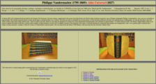
Philippe Vandermaelen's 1827 Atlas Universel is a truly remarkable work consisting of 380 conically projected maps and 40 pages of statistical tables in six volumes. It was the first atlas produced by the then novel printing process known as lithography. As part of a special project funded by the Friends of the Princeton University Library, these maps were digitized and placed online here....