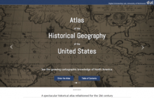
Maps and atlases are items of great interest for many of us at the Scout Report. So when we came across this atlas that not only presented the cartographic history of the United States but also featured the latest interactive technology, we were ecstatic. The website offers many different entry points for visitors to explore the substantial collection of digitized maps, with the time-lapse feature...
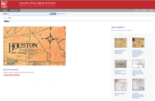
Houston has been called the city of the 21st century, so it makes sense to look back at its past development through maps that document its many changes. This digital collection from the Houston Public Library brings together 44 wonderful maps of Houston, Galveston, and other surrounding areas. The really intriguing items are the Houston Street Guide maps, which date from 1904, 1912, and 1913....
The history of 19th century America is, among other dynamics, a story of railroads. The burgeoning American rail network expanded the nascent country's economy, connected the coasts, and contributed to colonial dominance of Native lands. It was, in fact, one of the central concerns of both the federal and state governments for a number of decades. This site is packed with teacher-ready resources...
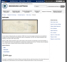
The first railroad in Massachusetts was chartered in 1826 and since that time the commonwealth has seen dozens of operators expand and contract their operations. Interestingly enough, by 1836 railroad corporations had to submit reports of their activities to the Secretary of the Commonwealth and in 1871 a Railroad Commission was established to oversee these companies. This wonderful digital...
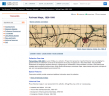
The US Library of Congress American Memory site has recently added this new item to its impressive collection. Railroad Maps, a preview release provided by the Geography and Map Division of LOC, contains a searchable and browseable selection of maps taken from RailroadMaps of the United States, by Andrew M. Modelski.
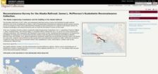
Once upon a time, there was gold in those hills around the Klondike. The celebrated gold rush of 1897-1898 excited the attention of millions around the world, and thousands of prospectors and suppliers flocked to the area. Many quickly found out that a lack of transportation infrastructure hampered the export of the natural resources. Later, in 1914, an act of Congress authorized the President to...