Michael Branick at the National Oceanic and Atmospheric Administration (NOAA) developed this online weather dictionary for local severe storm spotters and groups. "Its purposes are 1) to achieve some level of standardization in the definitions of the terms that are used, and 2) provide a reference from which the meanings of any terms, especially the lesser-used ones, can be found." The website,...
The Arizona Metrological Network (AZMET) provides air and soil temperature, humidity, solar radiation, speed and wind direction, and precipitation data from 1987 to the present. The website provides the latitude, longitude, and elevation and a map of data collection sites. Researchers can find hourly and daily raw data as well as summaries of weekly, monthly, and yearly data. Although developed...
At this website, the BBC offers an array of materials dealing with weather. Meteorologists can discover employment opportunities. Individuals with spectacular photographs of weather phenomenon can submit their images to the photo gallery. Students and educators can find introductory materials on basic weather concepts, forecasting, extreme events, and broadcasting the weather. The website offers...
John Monteverdi created this website to educate and entertain visitors in the science of storm chasing. Online storm journals for Spring Storm Chases from 1994 to the present take visitors through the life of a storm chaser. Throughout his discussions, the author provides weather charts and satellite images to assist visitors with the weather-related concepts. The site contains countless pictures...
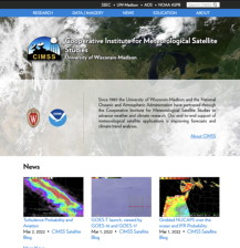
The Cooperative Institute for Meteorological Satellite Studies (CIMSS) is composed of scientists from the University of Wisconsin - Madison, the National Oceanic and Atmospheric Administration (NOAA), and NASA who "conduct research using passive remote sensing systems for meteorological and surface-based applications." Visitors can discover the many operational and research satellites as well as...
Collaborative Adaptive Sensing of the Atmosphere (CASA) is a collaborative project of technology manufacturers, weather service providers, academic partners, and federal agencies and is primarily supported by funds from the National Science Foundation. The research draws from electrical engineering, computer science and engineering, and meteorology, hydrology, and atmospheric science to study...
This website presents the Finnish Meteorological Institute's objective "to provide the best possible information about the atmosphere above and around Finland, to ensure public safety relating to atmospheric and airborne hazards, and to satisfy requirements for specialized meteorological products." The site divides the Institute's countless research projects into six main categories: meteorology,...
The United Kingdom's MET office created this website to provide users with weather and climate information for the British Isles and the world. Travelers can find out the latest weather forecasts and general climate patterns for various cities and countries. Users can enjoy the satellite imagery of weather patterns for the continents and the earth. Residents can view animations of the latest...
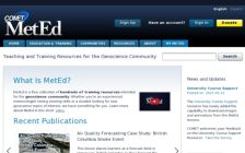
"The MetEd (Meteorology Education and Training) Website was established to provide education and training resources to benefit the operational forecaster community, university atmospheric scientists and students, and anyone interested in learning more deeply about meteorology and weather forecasting topics." Students and educators can find innumerable Macromedia Flash Player based modules covering...
The Meteorological Research Institute (MRI) in Japan "is engaged in analyzing and predicting meteorological, geophysical, hydrological and oceanographic phenomena, as well as developing extensive related technology" in order to further understand global climate and natural disasters. The website features the Institute's nine research departments covering topics such as forecasting, seismology and...