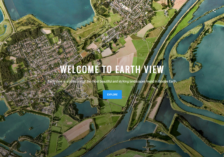
For readers looking for a break from the doldrums of the workday, Earth View offers a mesmerizing escape. Here readers will find a prodigious collection of dazzling landscapes from the seemingly endless archives of Google Earth. Whether readers are perusing the lakes of the Tibetan Plateau or the intricacies of a sky-based view of a French airport, these images are chosen to inspire wonder at the...
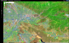
For fans of interactive maps and geospatial visualizations, Esris Landsat Explorer is a welcome boon, providing access to publicly-available imagery from the Landsat Program, a satellite program run jointly by NASA and the US Geological Survey that has focused on observing Earths land surfaces since its start in 1972. Esris Landsat Explorer, launched in 2017, is a sophisticated web app that...